


 BREVARD COUNTY, FLORIDA – National Hurricane Center has upgraded Tropical Storm Matthew to Hurricane Matthew. Currently, the hurricane is making its way through the Caribbean Islands.
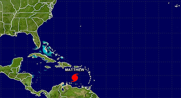
Max sustained winds have been recorded at 75 mph on Thursday and the system is moving to the West at 17 mph.
Projections show the hurricane will take a direct turn to the North in the coming days and hit Jamaica by Monday morning.
“It will most likely strengthen into a Category 2 hurricane. After that, it will be close to Cuba this weekend. From there, it is too early to tell where it will go. We are in the heart of the hurricane season, so we need to pay close attention to this storm.” Channel 9 Meteorologist Brian Shields said.
A SMALL CRAFT WARNING REMAINS IN EFFECT FOR ST. MAARTEN
UNTIL TOMORROW
Forecast High: 29°C / 84°F Forecast Low: 26°C / 79°F
Sunset Today: 6:02 P.M. Sunrise Tomorrow: 6:03 A.M.
SURFACE WINDS:
Tonight through Friday evening: East northeast to east with moderate to fresh breeze of 11 to 24 miles per hour, and higher gusts possible.
SYNOPSIS:
Weather conditions will continue to improve as Hurricane Matthew moves further away from the local area. Decreased winds speeds and a more stable atmosphere are expected. However, patches of moisture moving in from the north can trigger isolated showers during this forecast period.
The small craft warning remains in effect for St. Maarten as hazardous seas will continue throughout the night. Thereafter, seas will gradually subside to waves peaking near 7 feet. Nevertheless, small craft operators and coastal residents are advised to continue protecting life and property.
STATE OF THE SEA: Rough WAVES/SWELLS: 8 to 10 feet
SPECIAL FEATURE:
This afternoon at 2pm, the Tropical Storm Matthew became a category 1 hurricane. Subsequently, at 5 pm Hurricane Matthew was located about 360 miles southwest of St. Maarten and is moving westward to west south-westward near 17 mph, with maximum sustained winds of 75 mph. Gradual strengthening is expected as Matthew continue to move away from the local region.
OUTLOOK through Saturday evening: Generally cloudy, breezy and hazy with isolated showers possible.